Weatherwatch: a meeting of winds in convergence zones
The zones can occur on a large scale, as at the equator, or at local level, causing showers and storms
Convergence zones are meteorological boundaries where two flows meet, forcing air upwards. This vertical movement of air leads to the formation of clouds, and heavy precipitation often follows on.
Convergence zones are a global phenomenon and can occur on a large scale, with one such example being the Intertropical Convergence Zone, or ITCZ for short. The ITCZ is an area around the equator where the northern and southern hemisphere trade winds meet, creating huge amounts of uplift resulting in a band of heavy rain and thunderstorms around the equator. The ITCZ influences the wet and dry seasons in the equatorial region, including the monsoons.
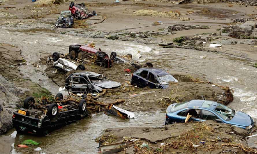
On a smaller scale, convergence lines form rows of showers or thunderstorms over a more local area. Sea breezes colliding are one such trigger for their development, and persistent heavy rain over a short space of time makes flooding a serious threat. Flooding in Boscastle, Cornwall, in August 2004 was the result of thunderstorms developing on a convergence line.
Convergence lines are not just reserved for the summer months, with snow showers forming narrow bands or “streamers”, and heavy snow can fall continuously for hours at a time. Snow streamers in February 2009 led to snow depths of more than 20cm in central London.